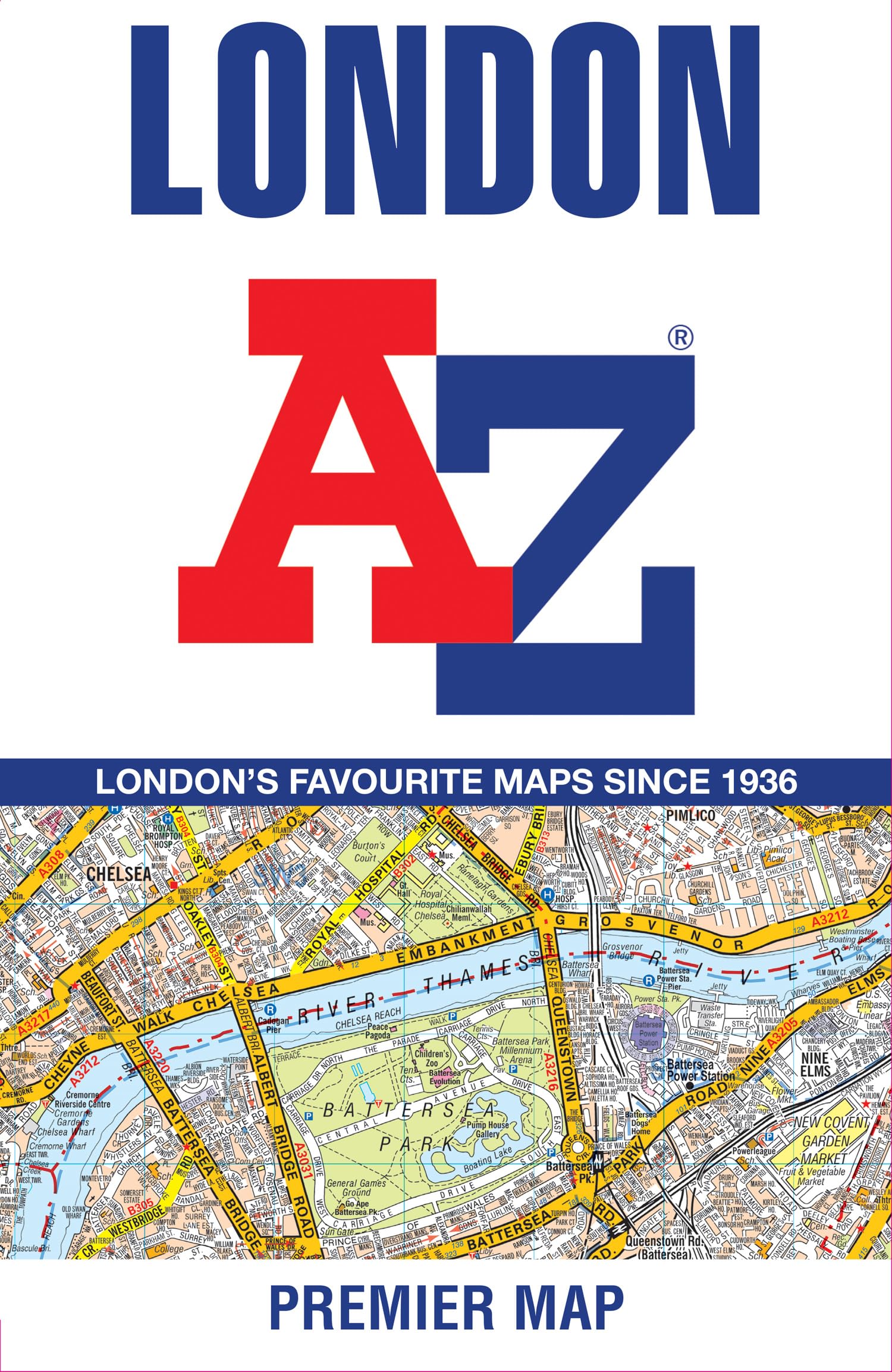
Navigate your way around London with this detailed, easy-to-use, and fully up-to-date A–Z Premier Map . This full-color, single-sided, fold-out street map covers a six-mile radius from Charing Cross in central London. Coverage extends from Muswell Hill in the north to London City Airport in the east, Crystal Palace in the south, and Wembley in the west, providing comprehensive coverage of the capital’s core and surrounding areas. Attached to the cover is a handy booklet containing a comprehensive index of more than 39,500 streets , along with selected flats, walkways, places of interest, fire stations, hospitals, and hospices within the mapped area. The map also clearly shows postcode districts, one-way streets, the Congestion Charge Zone boundary, and the Low Emission Zone (LEZ) boundary . Trusted by generations of Londoners and visitors alike, this iconic map remains an essential companion for navigating the capital city with confidence. A-Z Maps is one of the UK’s leading producers of mapping and cartographic products, known for its iconic London A–Z and trusted street atlases used by millions since the company’s founding in 1936. Now part of HarperCollins Publishers, A-Z Maps combines its long-standing expertise in detailed, easy-to-use cartography with Ordnance Survey data to create high-quality mapping for walkers, cyclists, and outdoor enthusiasts. The A-Z Adventure Series brings National Trails and other key routes to life through continuous OS mapping in a convenient, book-format atlas.