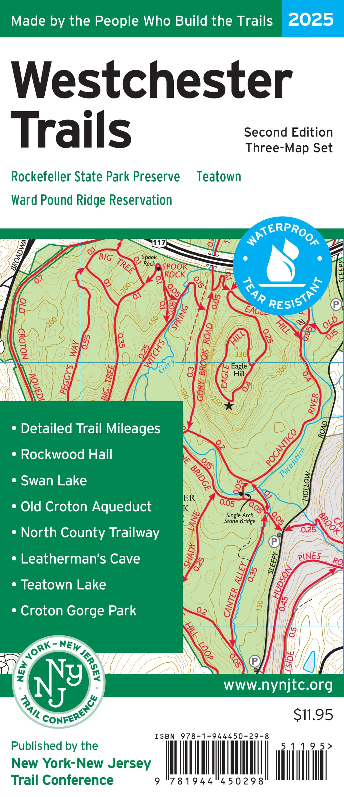
The Westchester Trails Map by the New York-New Jersey Trail Conference is a three-map set featuring three popular parks in Westchester County, New York. Rockefeller State Park Preserve, the largest state park in Westchester County, Ward Pound Ridge Reservation, the largest Westchester County Park, and Teatown, the largest privately-owned preserve in the county, are all shown in great detail. The maps are printed in vibrant color on waterproof and tear-resistant Tyvek, and are a must-have for discovering and exploring outstanding trails in Westchester County. Covering more than 160 miles of marked trails, this revised 2nd edition of Westchester Trails is sure to become a popular go-to resource for trails in Westchester County. All maps included detailed junction-to-junction trail mileage numbers, 10-foot elevation contour lines, parking areas, public transportation access points, scenic viewpoints, historical points of interest, and UTM gridlines. Map 130 features the vast trail network at Rockefeller State Park Preserve, including the nearby Rockwood Hall Area. Map 131 features the large trail system at Westchester County's Ward Pound Ridge Reservation. Map 132 covers the varied trail network at and around Teatown, with the map front including a large detailed map of Teatown itself and a map on the reverse covering the expanded Greater Teatown area. Several recent new trails and trail relocations in all of these parks have been included to make these the most up-to-date and accurate maps of these popular parks. Map features include: More than 160 miles of marked trails in Westchester County, New York - Parklands including Rockefeller State Park Preserve, Ward Pound Ridge Reservation, Teatown, Croton Gorge Park, Kitchawan Preserve, Old Croton Aqueduct, and the North County Trailway - Detailed junction-to-junction trail mileage numbers - 10-foot elevation contours - Convenient map sizes to carry and use on the trail - Inset map showing the parks and connecting trails in the Greater Teatown area - Parkland boundaries - Unmaintained trails and woods roads - Parking areas and train/bus public transportation access points - Viewpoints and other points of interest - Park contact information, history, and regulations - UTM coordinate grid for navigation Trail Conference maps are built on more than 90 years of mapping experience. They are the trusted source for reliable trail information in the New York-New Jersey metropolitan region. These maps are "Made By the People Who Build the Trails" and are regularly updated with changes to the trails. The New York-New Jersey Trail Conference is a volunteer-powered, 501(c)3 nonprofit organization that builds, maintains, and protects public trails. Together with our partners, we strive to ensure that the trails and natural areas we share are sustainable and accessible for all to enjoy for generations to come. Do your part to speak up for trails, volunteer to make our trails better, or support trails by purchasing great maps, making a gift, or becoming a member. Learn more at www.nynjtc.org.